Pollen Project Mapping
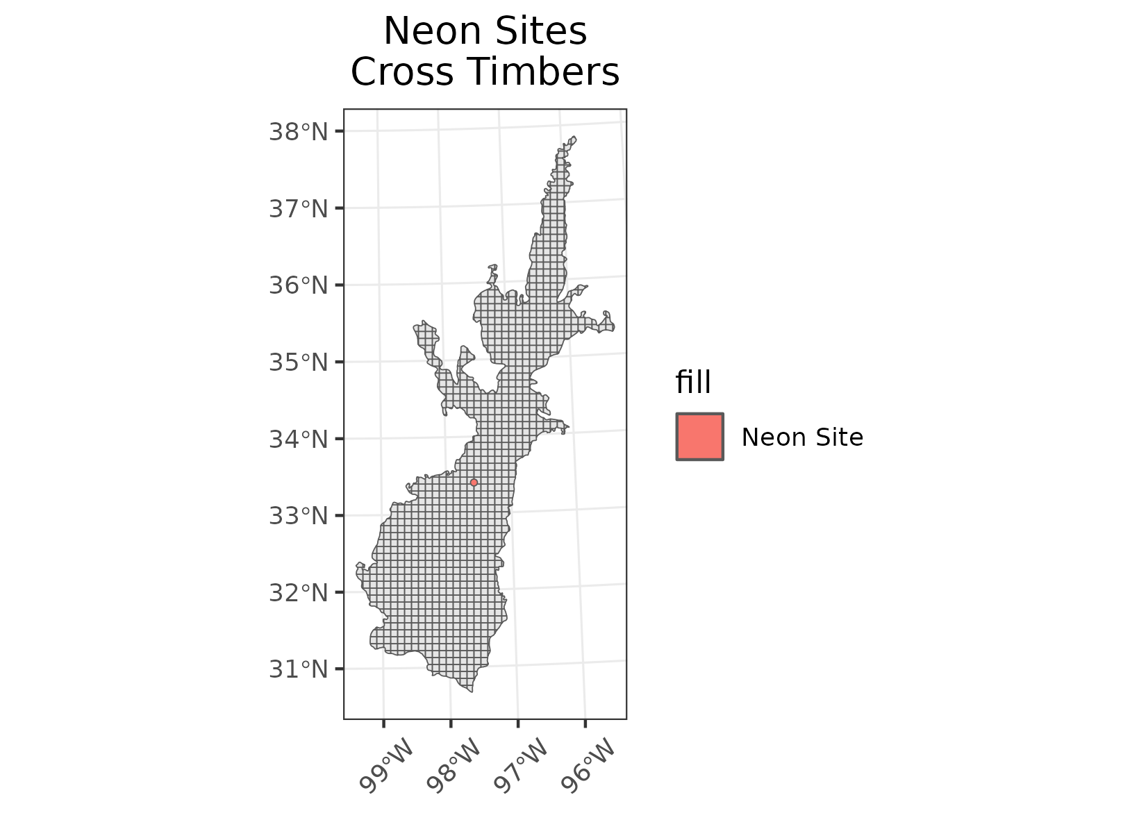
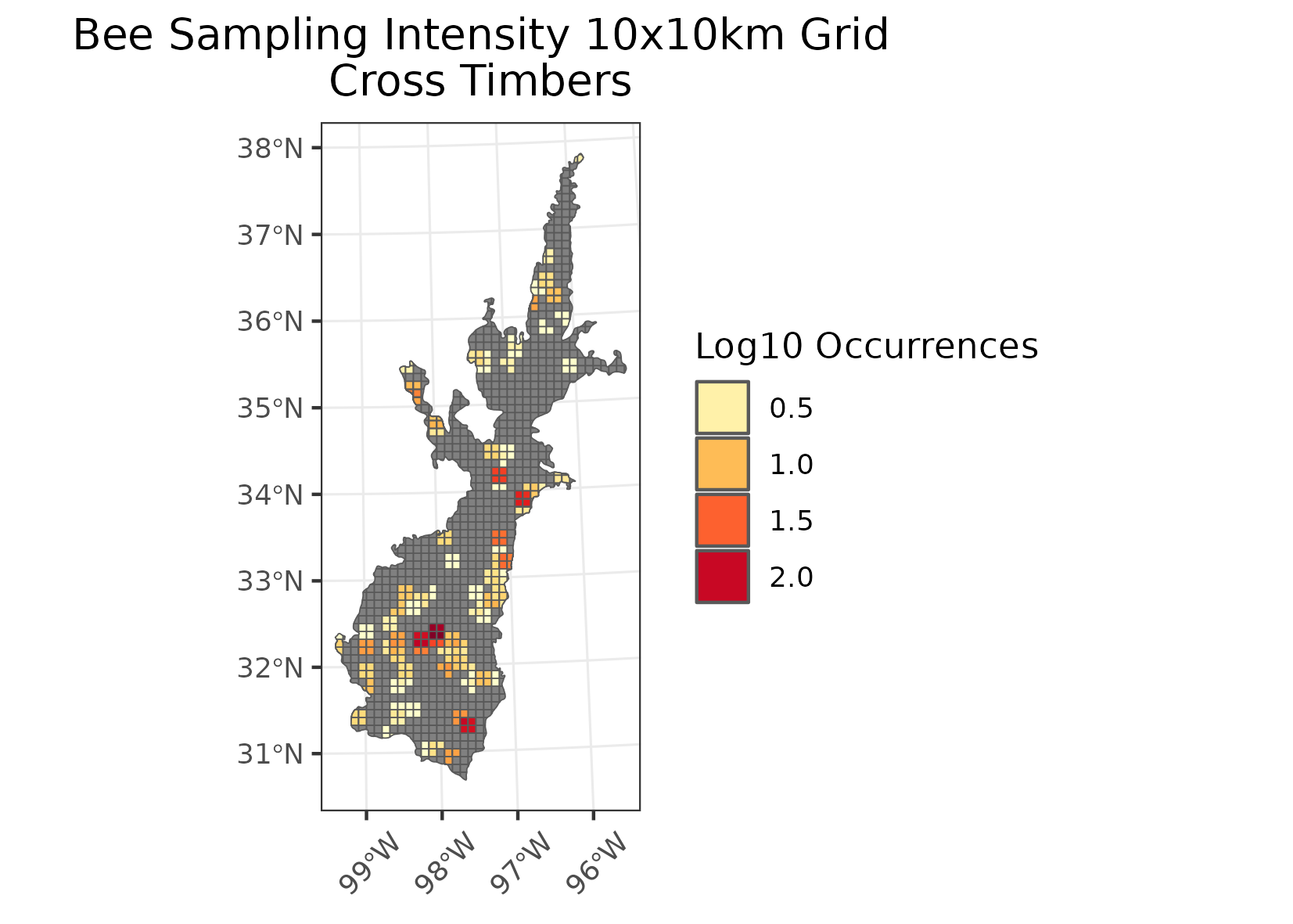
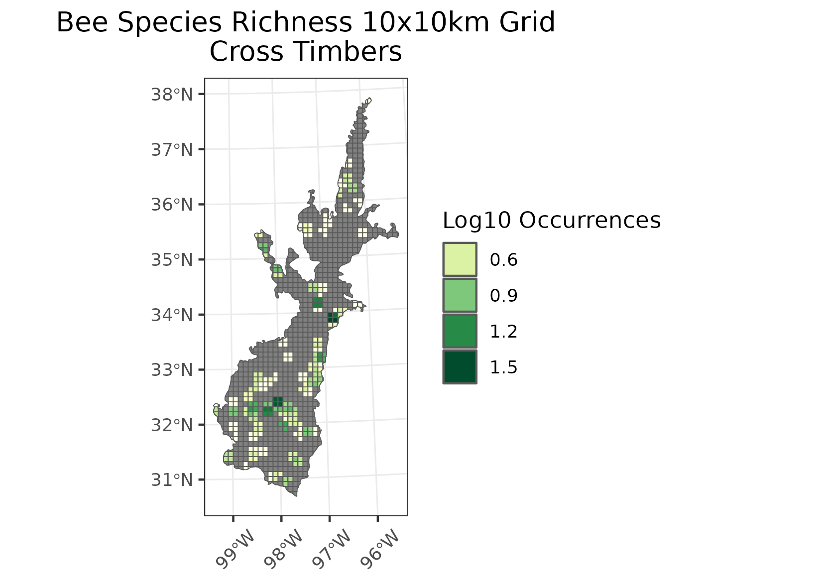
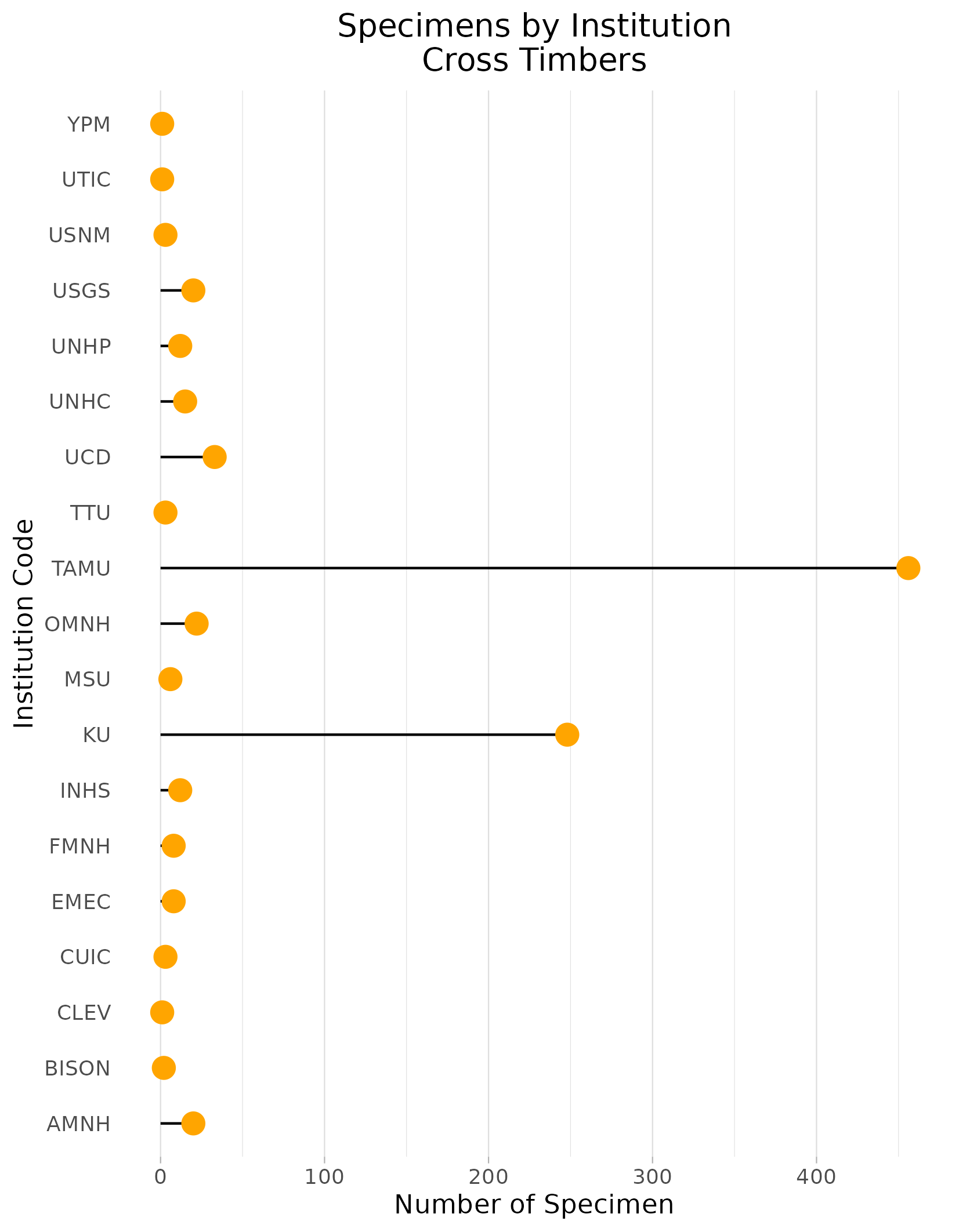
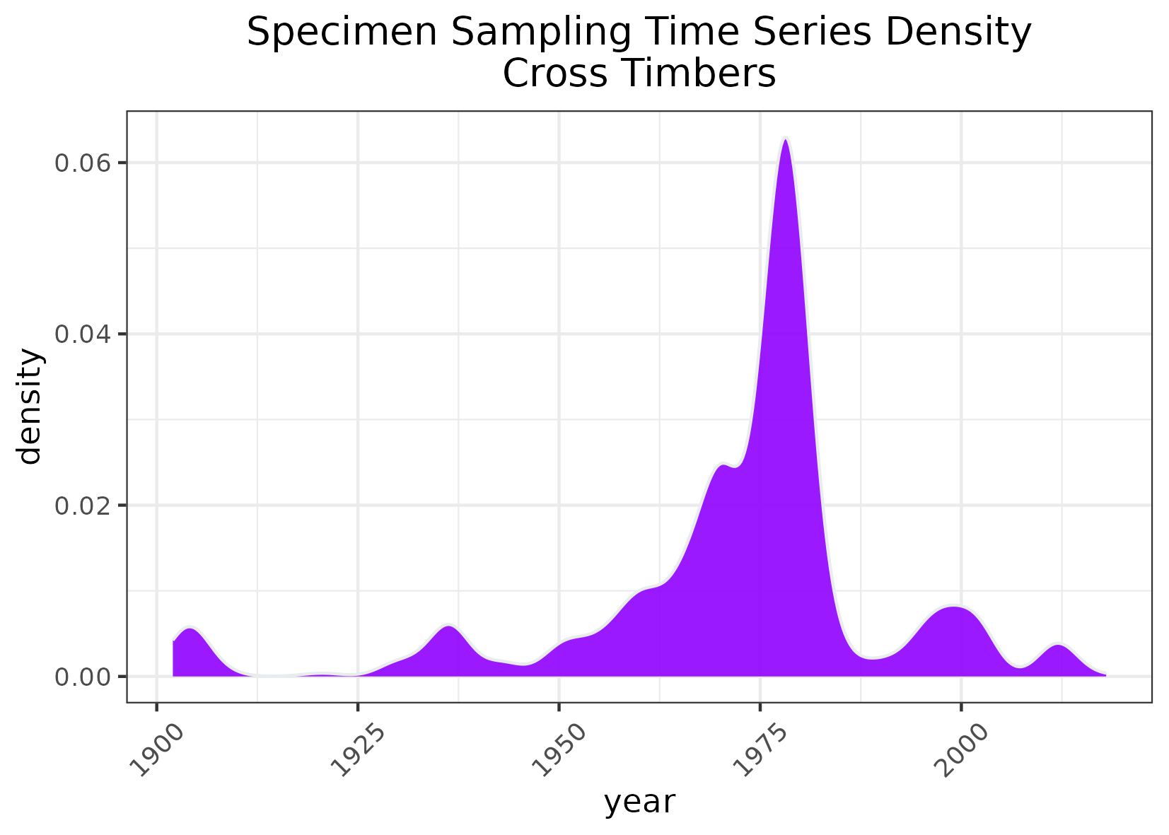
Cross Timbers
Location: Occurs in north-central Texas, central Oklahoma, and southeastern Kansas. A transition area between the once prairie, now winter wheat growing regions to the west, and the forested low mountains of eastern Oklahoma.
Climate: The ecoregion has a mild mid-latitude humid subtropical climate, marked by hot summers and mild winters. The mean annual temperature ranges from approximately 13C in the north to 19C in the south. The frost-free period ranges from 200 to 280 days. The mean annual precipitation is 856 mm, ranging from 610 mm to 1060 mm.
Vegetation: Transitional “cross-timbers” vegetation consists of little bluestem grassland with scattered blackjack oak and post oak trees. Big bluestem, Indiangrass, switchgrass, elm, black hickory, greenbriar, Virginia creeper also occur. A dense woody understory forms in the absence of fire.
Hydrology: Intermittent and perennial streams, low to moderate gradient. Several large rivers cross the region from west to east. Some reservoirs.
Terrain: Rolling plains, some rounded hills, ridges, and cuesta topography. Pennsylvanian sandstone, mudstone, and claystone; Cretaceous limestone and claystone. Alfisols, Inceptisols, and Mollisols occur, with thermic soil temperatures and ustic soil moisture regimes.
Land Use: Rangeland and pastureland comprise the predominant land cover, along with areas of woodland. Oil extraction has been a major activity in this region for over eighty years.
The region does not possess the arability and suitability for crops such as corn and soybeans that are common in the Central Irregular Plains (9.2.4) to the northeast. However, some small areas of cropland with peanuts, grain sorghum, small grains, hay, cotton, and peaches occur. Larger towns include Sapulpa, Shawnee, Ada, Duncan, Ardmore, Denton, Fort Worth, and Arlington.
Note that the above fields were quoted directly from: Wiken et al. 2011 (see front page for full citation).