Pollen Project Mapping
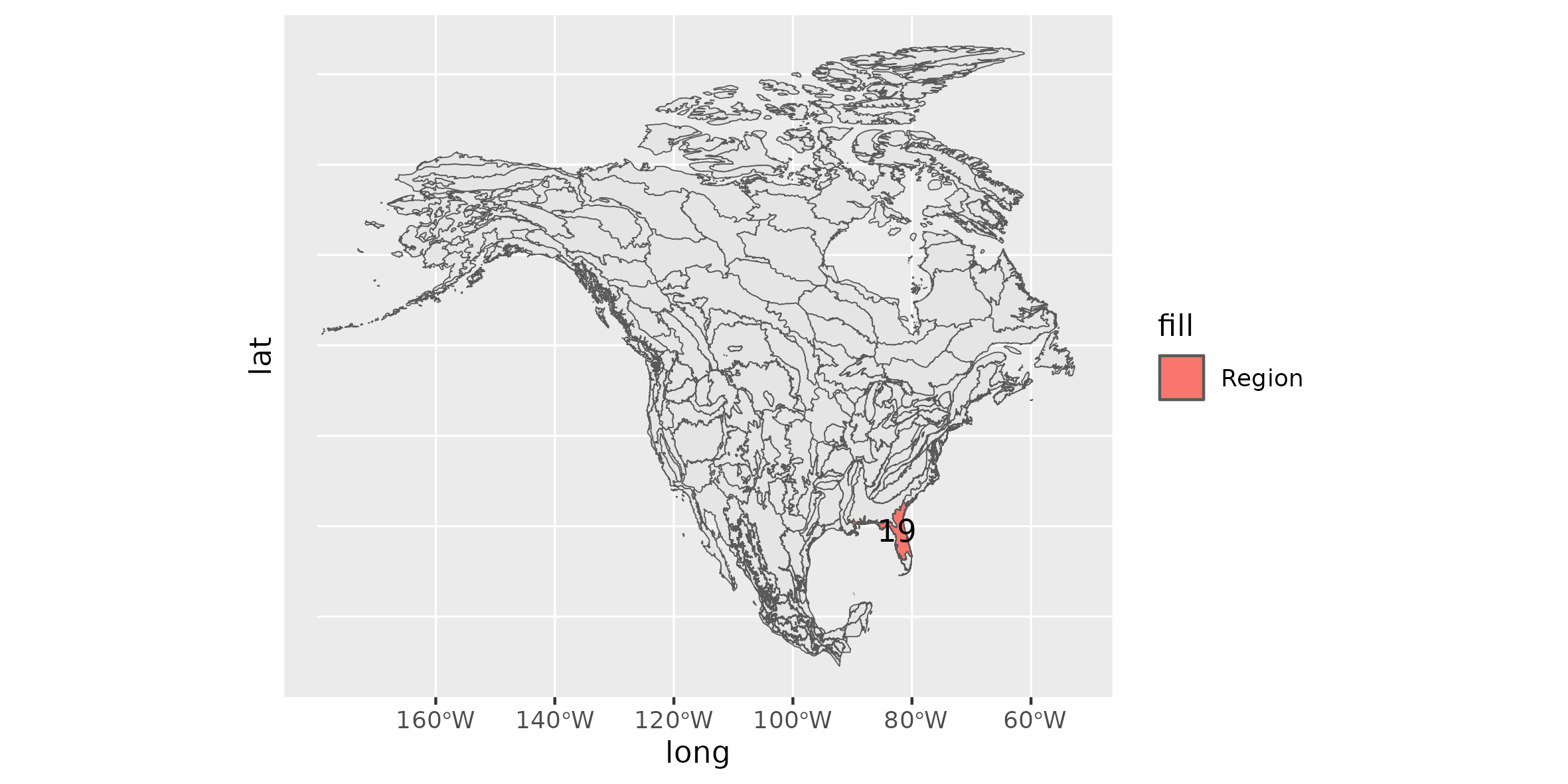
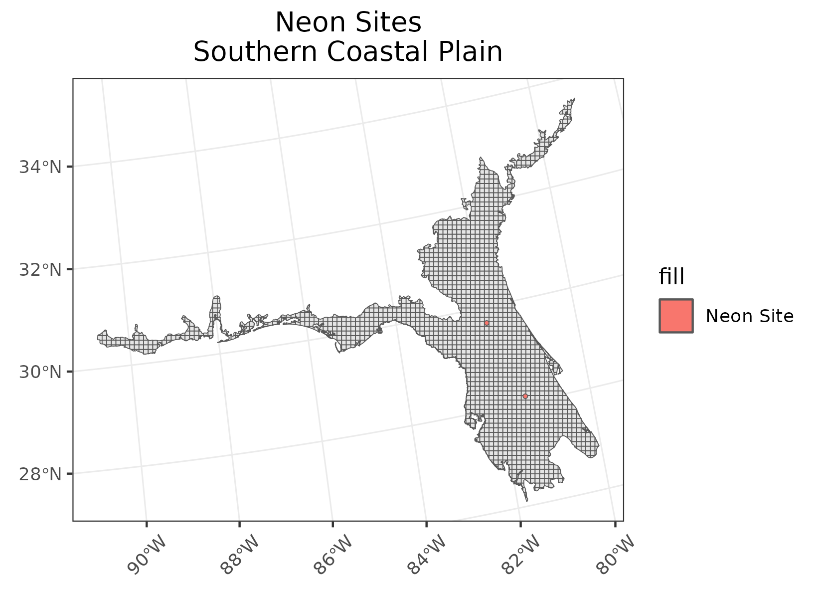
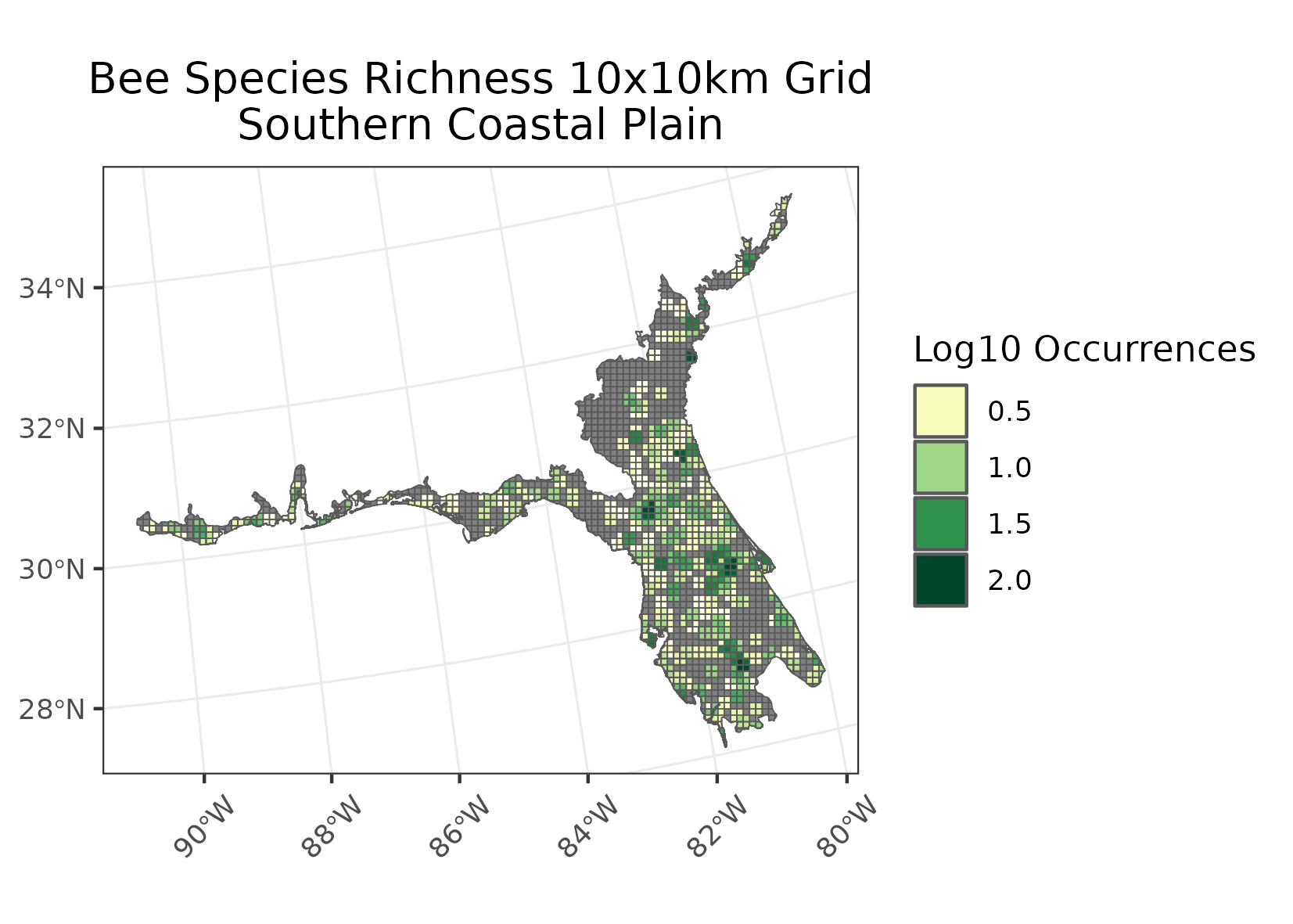
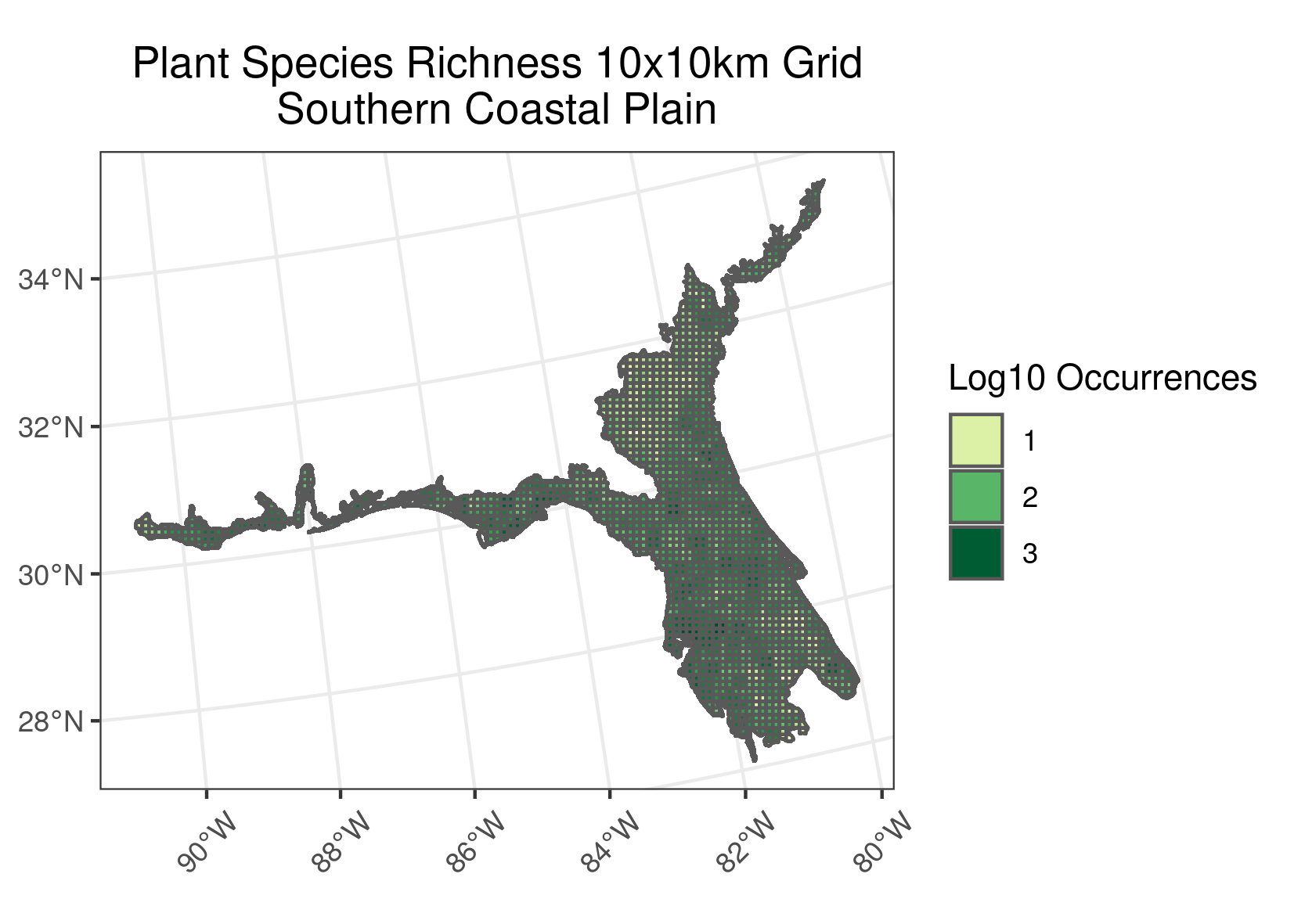
Southern Coastal Plain
Location: Extends from South Carolina and Georgia through much of central Florida, and along the Gulf coast lowlands of the Florida Panhandle, Alabama, Mississippi, and eastern Louisiana.
Climate: The ecoregion has a mild mid-latitude humid subtropical climate, characterized by hot humid summers and warm to mild winters. The mean annual temperature is approximately 19 to 22C. The frost-free period ranges from 280 to 360 days. The mean annual precipitation is 1338 mm, ranging from 1170 mm to 1650 mm.
Vegetation: Once covered mainly by longleaf pine flatwoods and savannas, this ecoregion also had a variety of other communities that supported slash pine, pond pine, pond cypress, beech, sweetgum, southern magnolia, white oak, and laurel oak forest. Southern floodplain forests with bald cypress, pond cypress, water tupelo, bottomland oaks, sweetgum, green ash, water hickory.
Hydrology: Numerous low-gradient, perennial streams and large rivers, wetlands, and lakes.
Terrain: Mostly flat plains, it also includes barrier islands, coastal lagoons, marshes, and swampy lowlands along the Gulf and Atlantic coasts. In Florida, an area of more rolling discontinuous highlands contains numerous lakes. This ecoregion is lower in elevation with less relief and wetter soils than the Southeastern Plains (8.3.5) ecoregion to the north. Ultisols, Spodosols, and Entisols are common, with thermic and hyperthermic soil temperature regimes and aquic and some udic soil moisture regimes.
Land Use: Pine plantations and forestry, pasture for beef cattle, citrus groves, tourism and recreation, fish and shellfish production. Some large areas of urban, suburban, and industrial uses.
Larger cities from north to south include Georgetown, Charleston, Savannah, Waycross, Brunswick, Jacksonville, Hammond, Slidell, Gulfport, Biloxi, Pascagoula, Mobile, Pensacola, Gainesville, Ocala, Orlando, Tampa, St. Petersburg, and Fort Myers.
Note that the above fields were quoted directly from: Wiken et al. 2011 (see front page for full citation).